-
Courses
Courses
Choosing a course is one of the most important decisions you'll ever make! View our courses and see what our students and lecturers have to say about the courses you are interested in at the links below.
-
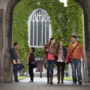
University Life
University Life
Each year more than 4,000 choose University of Galway as their University of choice. Find out what life at University of Galway is all about here.
-
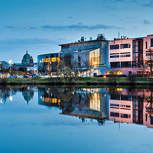
About University of Galway
About University of Galway
Since 1845, University of Galway has been sharing the highest quality teaching and research with Ireland and the world. Find out what makes our University so special – from our distinguished history to the latest news and campus developments.
-
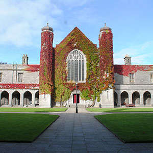
Colleges & Schools
Colleges & Schools
University of Galway has earned international recognition as a research-led university with a commitment to top quality teaching across a range of key areas of expertise.
-
Research & Innovation
Research & Innovation
University of Galway’s vibrant research community take on some of the most pressing challenges of our times.
-
Business & Industry
Guiding Breakthrough Research at University of Galway
We explore and facilitate commercial opportunities for the research community at University of Galway, as well as facilitating industry partnership.
-
Alumni & Friends
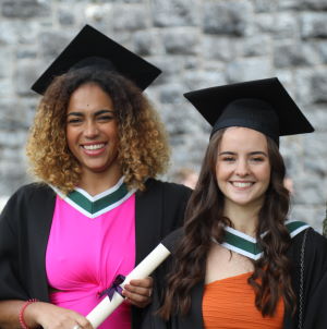
Alumni & Friends
There are 128,000 University of Galway alumni worldwide. Stay connected to your alumni community! Join our social networks and update your details online.
-
Community Engagement
Community Engagement
At University of Galway, we believe that the best learning takes place when you apply what you learn in a real world context. That's why many of our courses include work placements or community projects.


Mullaghfarna: sharing place, creating space
An upland 'settlement' in a Passage Tomb context
Stefan Bergh
Introduction
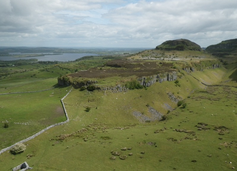
The c. 166 round house foundations and the more than 100 auxiliary spaces recorded on the exposed karst plateau at Mullaghfarna in the Bricklieve Mountains, Co. Sligo, constitutes the most complex and largest group of prehistoric house foundations ever recorded in Ireland. Located on the cliff bounded plateau in Mullaghfarna td. within the passage tombs complex of Carrowkeel/Keashcorran the settlement has since it was first recorded by R.A.C. Macalister in 1911 been associated with the nearby passage tombs.
The remains consist mostly of round stone built house foundations measuring c. 8-20m as well as a large number of constructed ‘auxiliary spaces’ which might have had the function of ‘back-yards’, storage space etc. A number of linear features most likely representing various types of boundaries have also been identified on the plateau.
What makes Mullaghfarna so special among the nucleated prehistoric settlements in Ireland is the extraordinary variation when it comes to construction modes, complexity as well as sizes of the house foundations.
The overall aim with the project is to interpret the role and function of the seemingly domestic remains on Mullaghfarna, and to understand them in their social and ritual contexts. A significant part in this process has to be to understand the site from a ‘landscape and place’ perspective, due to its location on the dramatic plateau among the passage tombs in the Bricklieve Mountains.
Excavations
Trial excavations in three of the house foundations. All three sites revealed finds from the Neolithic/Bronze Age including concave scrapers, thumb scrapers, lithic debitage as well as cores in chert, a plano-convex knife in flint, undecorated pottery as well as teeth of cattle and sheep. A series of ten radiocarbon dates from the excavations, supported by the finds, indicate activity mainly during the Mid-Neolithic (3300-2900calBC) and in the later Bronze Age (1200-900calBC).
Survey
A high resolution survey of the entire plateau has recently been concluded. Prior to this the remains at Mullaghfarna have been treated as a rather uniform group of round house foundations, albeit of varying size.
The most important result from the survey is probably the complexity and variation in construction modes among the house sites as well as the sheer number of features present on the plateau. The character of the sites seems further to indicate a far more intricate use than that of an ordinary domestic settlement.
Results
From the general distribution it is evident that the houses are not evenly distributed on the plateau as most occur in tight clusters while others are clearly detached with no next door neighbours. (See Fig.).
Even though clustering does not need to indicate contemporaneity per se, as it could be the result of repeated activity where a new house was added as need arose, it is still likely that it does. Since most of the house foundations show the same level of preservation, they do seem to have been used/abandoned roughly at the same time. This is of critical importance since this very large amount of houses seems to represent one more or less contemporary activity.
It is also clear that most of the clusters show evidence of having functioned as individual entities, judging for example from the location of entrances and auxiliary spaces (See Fig).
Mullaghfarna constitutes a unique site in the prehistoric archaeology of Ireland, and the present survey has further underlined this by recording and contextualising the extraordinary complexity of the remains in detail.
Interpretations
So how are we to understand the 166 houses and their adjacent features on the exposed plateau in Mullaghfarna? Were they the dwellings of the farming community in this area, or a settlement of special high status, or a defensive settlement site used in times of unrest, or maybe something else? From a simple logistic point of view it is hard to see that the rather inaccessible plateau would have functioned as the ordinary daily homes for an entire community, since the only access would have been through the narrow and steep steps at the northern extreme of the cliff bounded plateau.
Instead of seeing Mullaghfarna as a year-round settlement I would suggest that this was a place for seasonal aggregations probably including activities linked to the nearby passage tombs. The varied and often rather un-orthodox constructions might reflect types of activities that would not be part of the daily routine in an ‘ordinary domestic settlement’, but needed to be present at a gathering-place such as Mullaghfarna. The clustering of the houses into various groups might in this scenario represent different groups of people defined by maybe kinship or their geographical domicile.
The remains on Mullaghfarna should probably be best understood in the context of place-making and landscape perception rather than in aspect of the domestic daily routine.
FUNDING
Royal Irish Academy
The Heritage Council
Anonymous benefactor
PUBLICATIONS
Bergh, S. 2003, ‘The Mullaghfarna Enclosures, Mullaghfarna, Co. Sligo’ in Excavations Bulletin.
Bergh, S. 2004, The Mullaghfarna enclosures: a survey. Unpublished report submitted to the Heritage Council (Archaeological Grant Scheme 2004. Ref. 13313).
Bergh, S. 2006, Mullaghfarna. Prehistoric enclosures, in I. Bennett, Excavations 2003, edited by I.Bennet, Bray: Wordwell, pp. 445-6.
Bergh, S. 2015, ‘Where Worlds Meet. Two Irish prehistoric mountain-top ‘villages’’. In U. Moscatelli & A. Stagno (eds) Archaeology of Europe’s mountain areas: methods, problems and case studies. Il Capitale Culturale. Studies on the Value of Cultural Heritage 12, 21-44. http://riviste.unimc.it/index.php/cap-cult
Corns A. and Shaw R. 2009, Up in the air: 3D modelling of archaeological landscapes from aerial photography, in Lost and Found II: rediscovering Ireland’s past, edited by J. Fenwick, Dublin: Wordwell, pp. 223-236.